Precise Point Clouds in Motion
Mobile mapping systems continuously capture spatial data while moving along the object or structure. This generates dense and consistent point clouds that represent even complex geometries completely and without gaps, establishing a reliable foundation for subsequent processing and analysis.
Versatile Applications
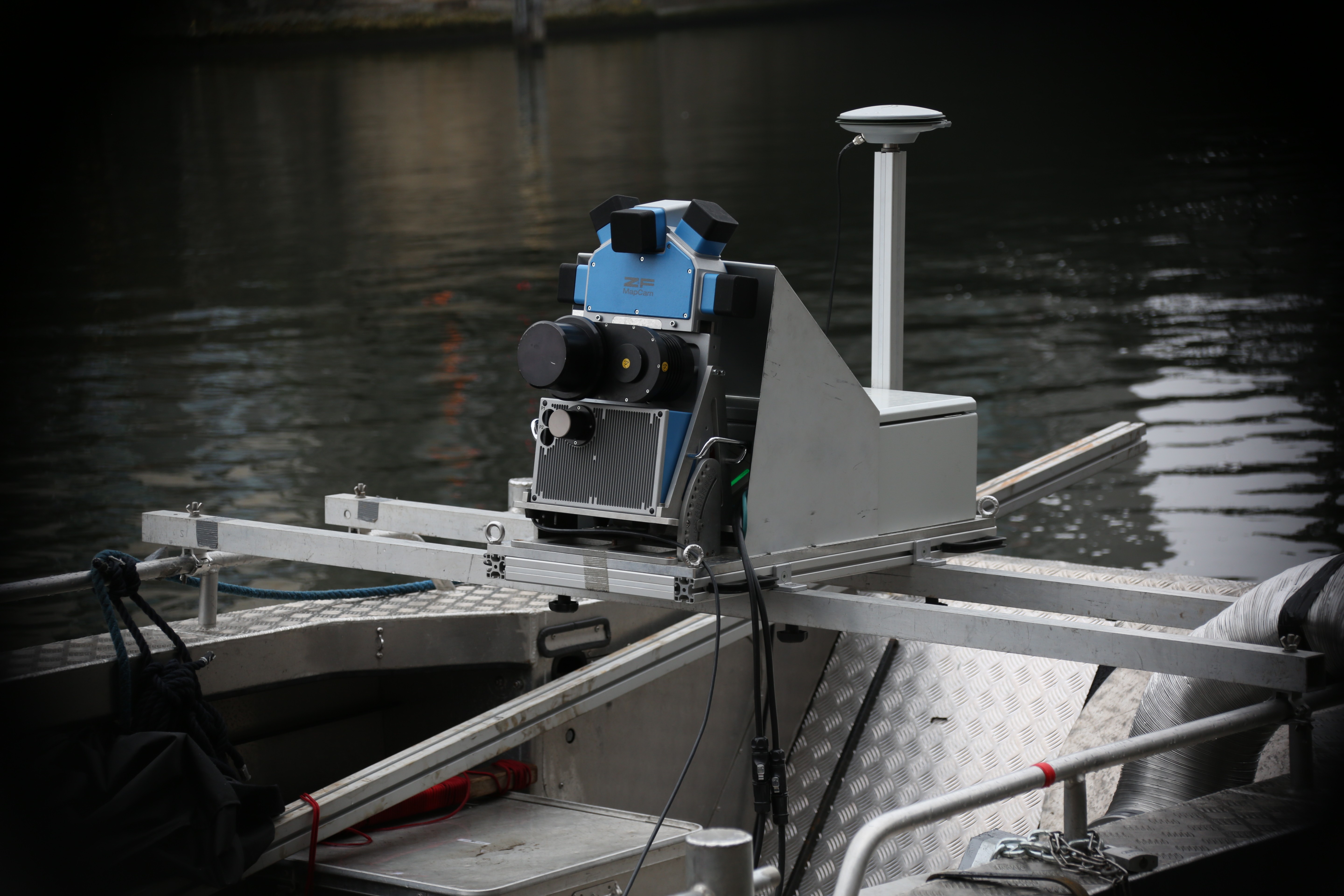
Mobile mapping is ideal for capturing bridges, quay walls, shorelines, harbor structures, and other above-water infrastructure. Especially in hard-to-reach areas, this technology enables efficient and safe data collection without the need for complex scaffolding or access solutions.
Efficiency Without Compounding Accuracy Losses
The mobile acquisition method allows large areas to be documented in a short time while maintaining a consistently high level of measurement accuracy. This significantly reduces on-site time and ensures the cost-effective execution of even large-scale projects.

Data Base for Planning and Analysis
The generated point clouds integrate seamlessly into existing CAD, BIM, and GIS workflows. They provide a robust foundation for as-built plans, quantity surveys, clash detection, and structural analysis, supporting informed decision-making throughout the entire project lifecycle.
Mobile Mapping – when precision, speed, and efficiency are critical.