
High-Resolution 3D Models from Image Data
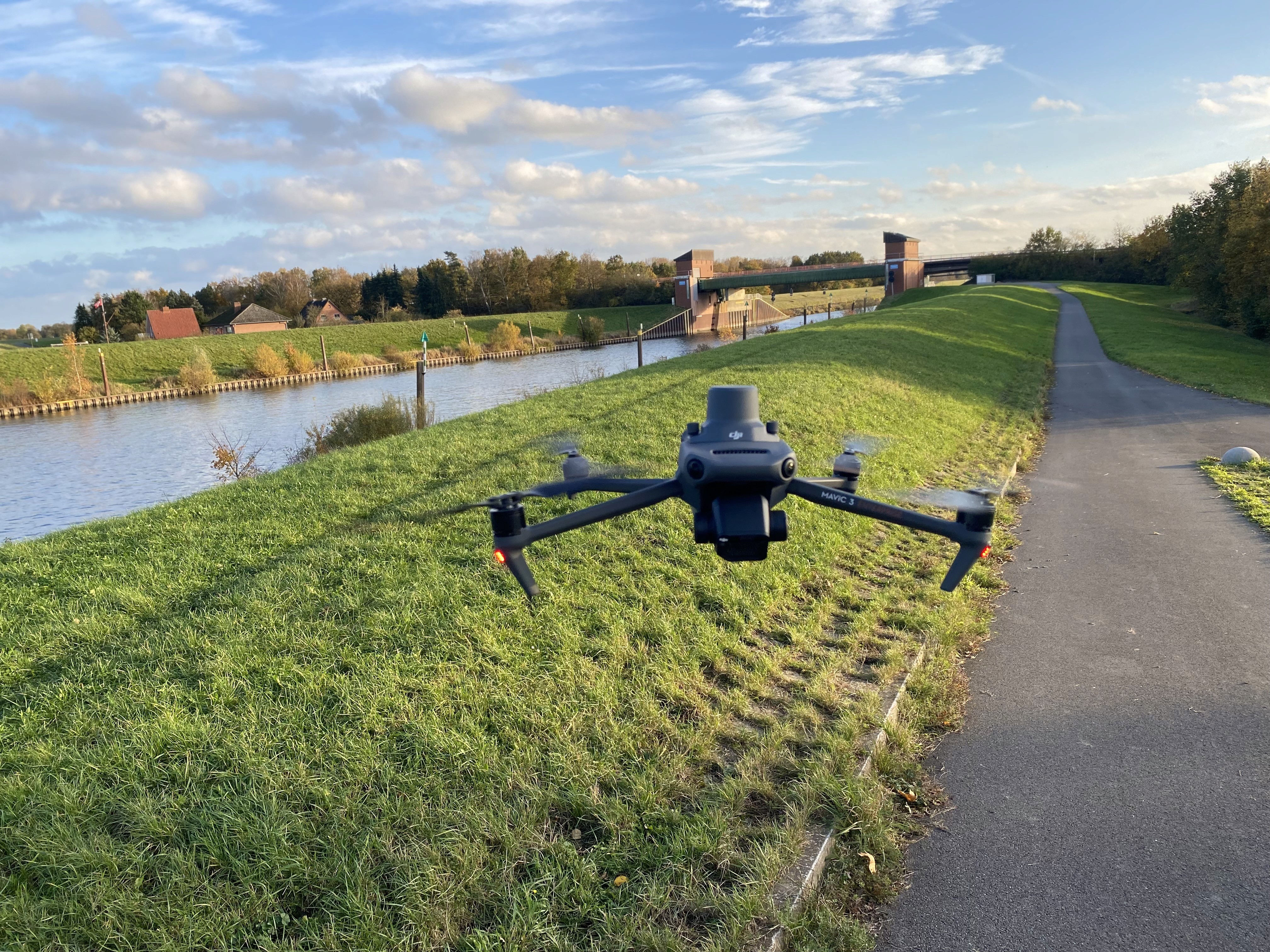
AeroVision leverages state-of-the-art drone technology combined with advanced photogrammetry to reconstruct complex 3D geometries from a multitude of overlapping aerial images. The resulting meshes feature high detail depth and geometric accuracy, bringing even fine structures to light.
Efficient Capture of Large and Hard-to-Reach Areas
Aerial data acquisition enables rapid and flexible documentation of large-scale or difficult-to-access structures. Bridges, port facilities, buildings, or shoreline structures can be captured efficiently without the need for expensive scaffolding or specialized access equipment.

Precise Analysis and Condition Assessment
The generated 3D models serve as a highly reliable foundation for inspections, surveying, and condition assessments. Changes can be tracked over time through repeated flight missions, making AeroMesh ideal for monitoring and documentation tasks.

Seamless Integration into Digital Workflows
The generated meshes and associated data integrate seamlessly into existing CAD, BIM, and GIS systems. When paired with platforms like InfraCloud, the data becomes centrally available and can be analyzed and processed across projects.
AeroVision – precise aerial 3D models for data-driven decisions.


